Mount Kinabalu height and how hard the climb really is
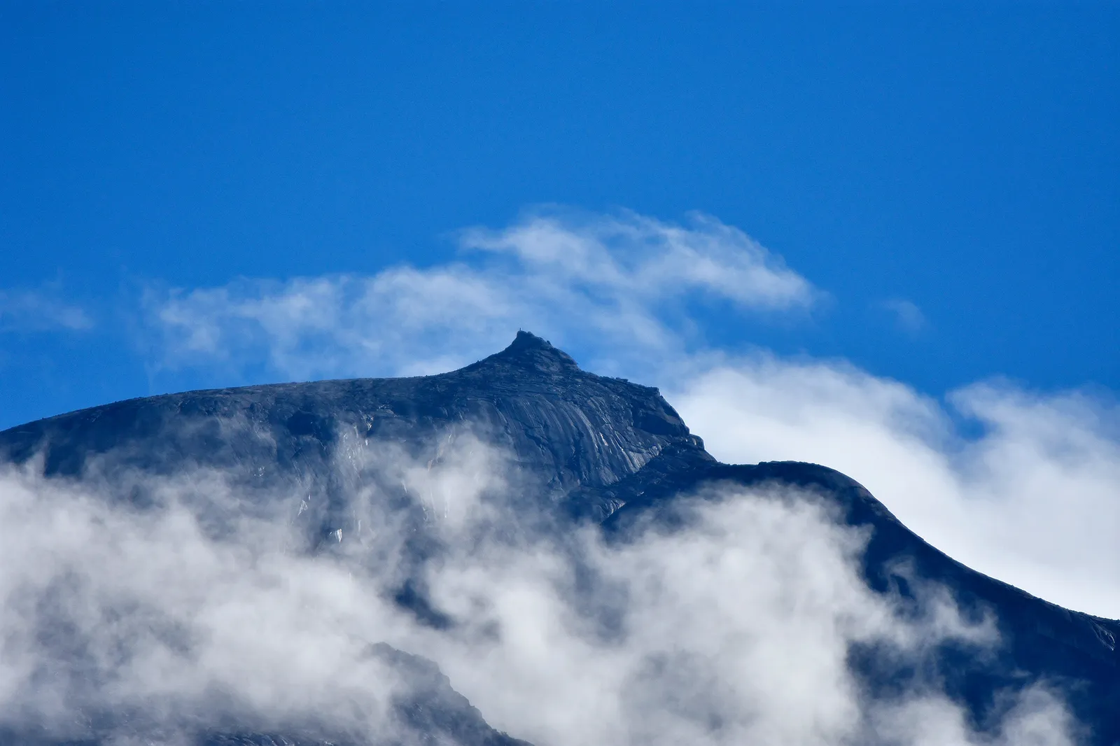
How high is Mount Kinabalu?
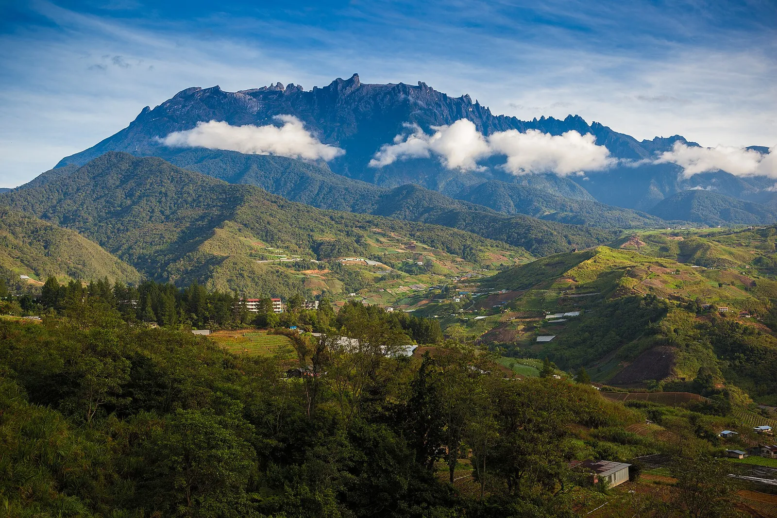
Mount Kinabalu is the highest mountain in Malaysia and Maritime Southeast Asia3. It is also the third-highest peak on an island on Earth3.
It is not the top of the wider region. Across Southeast Asia it ranks only 28th-highest3.
Heights from the coast to the summit
| Place | Height | Note |
|---|---|---|
| Kota Kinabalu city | 5 m | City named after the mountain |
| Kinabalu Park Headquarters | around 1,520 m | Transfer point for Timpohon Gate |
| Laban Rata Resthouse | 3,270 m | Where most climbers spend the night |
| Mount Fuji, Japan | 3,776.24 m | Lower than Mount Kinabalu |
| Mount Kinabalu | 4,095.2 m | Tallest in Malaysia and on Borneo |
| Hkakabo Razi, Myanmar | 5,881 m | Highest mountain in Southeast Asia |
Sabah Parks (official); Wikipedia; Wikivoyage
Which is higher, Mount Fuji or Mount Kinabalu? Mount Kinabalu, as the table shows. Climbers break the ascent with a night at Laban Rata Resthouse, well below the summit.
Where Mount Kinabalu is
- District: Ranau district, West Coast Division of Sabah3.
- From the city: about 50 km east-northeast of Kota Kinabalu5, which takes its name from the mountain.
- By road: Kinabalu Park Headquarters is about 92 km from Kota Kinabalu along the east-coast highway1.
- Protection: the mountain lies in Kinabalu Park, a World Heritage Site3, gazetted in 1964 and covering about 754 km²1.
How hard is the climb?
Hard work, but not technical. Wikivoyage calls Mount Kinabalu one of the most accessible mountains in the world2. Someone in good physical condition can climb Low’s Peak on the main route without mountaineering equipment3.
The same guide is blunt: the fit will find the climb from Laban Rata a challenge and the unfit will find it almost impossible2. Here is what makes it tough:
- Stairs from the start: the first 4 km2 towards Laban Rata is moderately steep, with stairs and some rocky path.
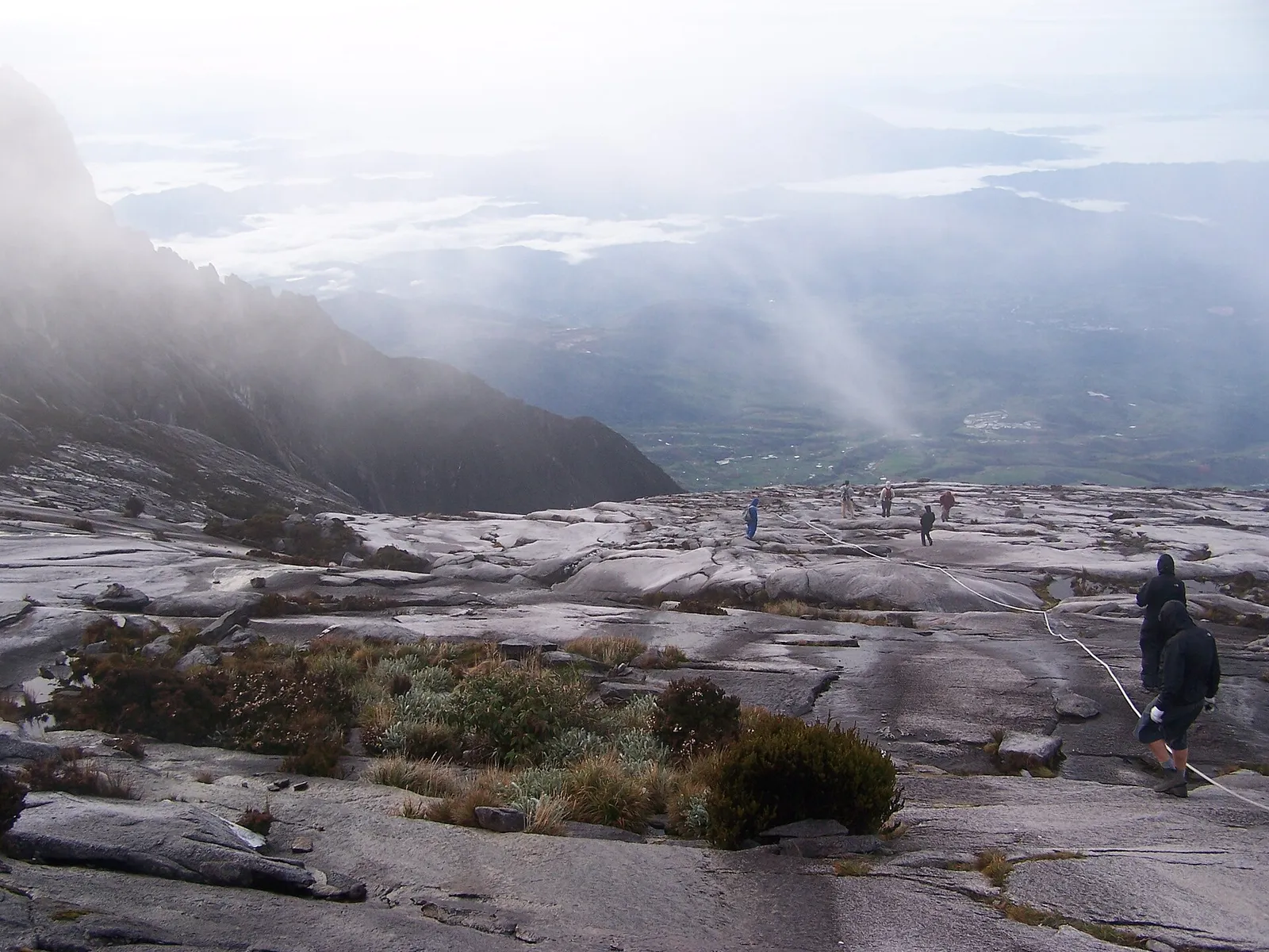
- Bare rock at the top: the last part of the climb is on bare granite rock3.
- Thin air: the mountain is high enough to cause altitude sickness2.
- Weather: the mountain can be dangerous, especially in rain or mist2.
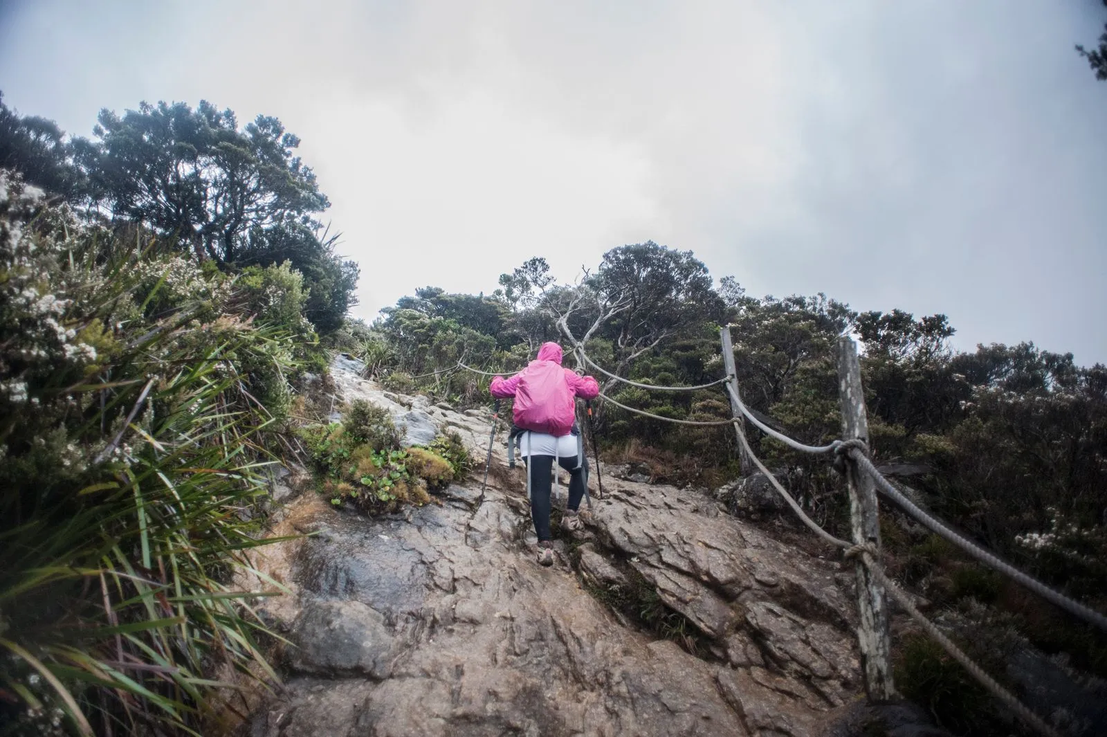
Is Mount Kinabalu beginner friendly? For a fit beginner, yes: no climbing skills are needed. Training before you go matters more than gear, and the health rules below decide whether you should climb at all.
For the trail in more detail, see which mountain climb suits your fitness.
How long the climb takes
Plan on a night on the mountain. The Sabah Parks Lemaing and Panalaban hostel packages run 2 days / 1 night4, and the Timpohon Gate route is 8.72 km2 to the summit.
-
Start at Timpohon Gate
Your guide takes you to Timpohon Gate for a rules briefing, then the ascent to Panalaban begins.
-
Climb to Laban Rata
About 6 km of trail, which most people walk in 3 to 6 hours.
-
Sleep on the mountain
Overnight at Laban Rata Resthouse, at 3,270 m.
-
Summit push
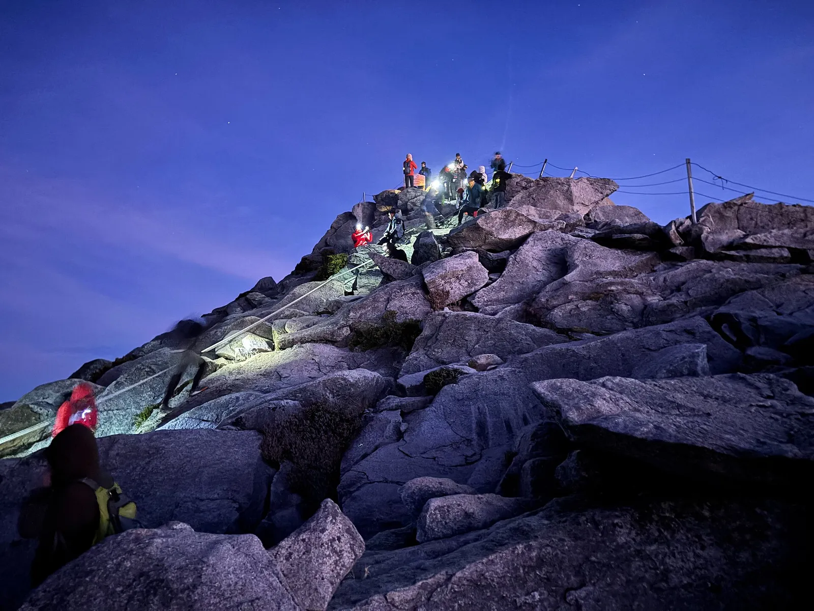
Set off at around 02:00–03:00; the final stretch to Low's Peak takes 2 to 4 hours.
-
Walk down
The descent on the second day takes 4–5 hours.
-
Back to Kota Kinabalu
Return shuttles leave Kinabalu Park HQ several times between 13:00 and 18:00.
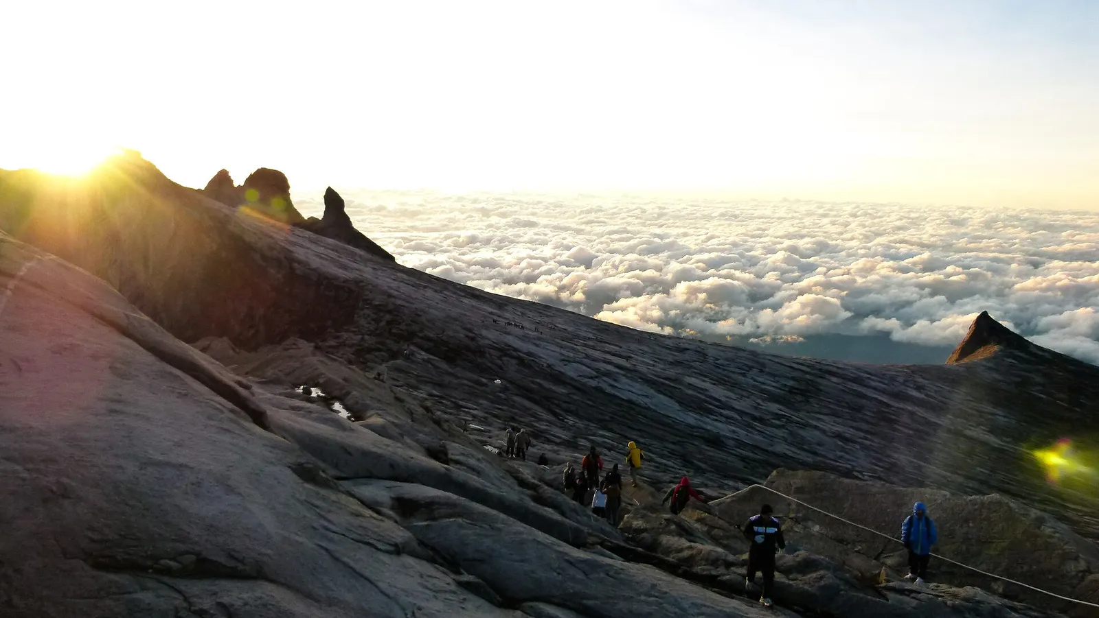
Most climbers begin the summit push at 02:302, to catch the sunrise. The summit is usually covered in cloud, and early morning is the best time for a view6.
The earthquake and what changed
An earthquake hit the area on 5 June 20153. It killed 18 people, including hikers and mountain guides3.
Who should not climb
Sabah Parks asks people with, or with a history of, certain ailments not to climb7. The list covers:
- Heart disease or hypertension7
- Chronic asthma or diabetes7
- Obesity7
- Any other illness that severe cold, exertion or high altitude could trigger7
The rules may tighten. The Star reported two deaths in February 2025, including a British man in his 70s who collapsed near the summit on 25 February8. In March 2025, Sabah’s tourism minister suggested stricter rules, including an age limit8.
The New Straits Times reported in March 2025 that at least four climbers had died on the mountain since 20249.
Weather and summit closures
You can climb in any month. A climb operator says the summit can be climbed at any time of year10, while weather is best around April, and November and December bring rain2.
- Climbable, drier spells January to October
- Rainy climbing months November to December
Summit temperatures range from −4 to 8 °C from December to January3, so a tropical start does not mean a warm finish.
What to pack
- A head torch: a waterproof head torch7 is the official recommendation, and Wikivoyage advises a headlamp rather than a torch, because you need both hands for some rocks near the summit2.
- Warm layers: bring warm clothing because temperatures near the summit may drop7.
- Rain gear: waterproof and warm clothing, including a hat and gloves2.
What the climb costs
Sabah Parks sets the fees below. The permits and fees guide covers booking step by step.
Sabah Parks climbing fees
| Ticket | Adult | Child |
|---|---|---|
| Climbing permit, international adult | RM400 | – |
| Climbing permit, Malaysian adult | RM100 | – |
| Conservation (entrance) fee, international adult | RM50 | – |
| Mountain guide | RM350 per guide, one guide per five climbers | One guide per two climbers aged 15 and below |
| Climbing insurance | RM10 per climber | – |
Sabah Parks (official)
These rates are fairly new. The New Straits Times reported that the international permit rose to RM400 from 1 January 2023, double the previous rate11. The guide rate went up to RM350 from RM23011.
Places are tight. Because hut beds are limited, only 130 people may climb each day3. The mountain recorded 48,342 climbers in 20249, so you may need to book months in advance12.
Via Ferrata
The Via Ferrata adds a cable-and-rung route to the climb. mountkinabalu.com sells the 2D1N Walk The Torq from RM 2,640 per person13. Its 3D2N version adds one night at Kinabalu Pine Resort14 before the mountain night.
That longer package costs MYR 3,540 per person in 2026 for international climbers in a group of 2–314. It includes a Via Ferrata trainer as well as a mountain guide14. Klook also lists a Via Ferrata climb with a private guide.
If you would rather not summit
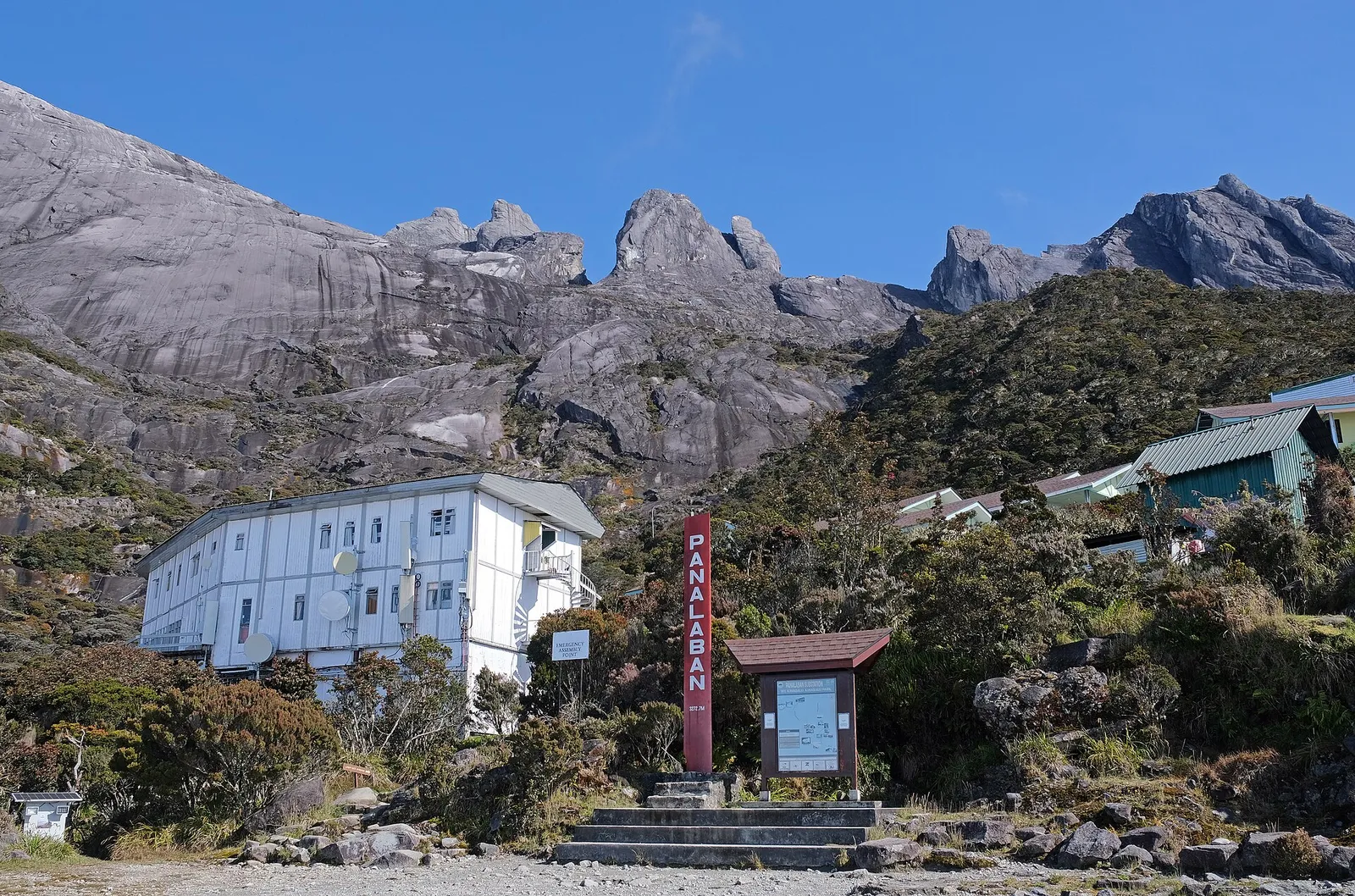
You would not be alone: most visitors to Kinabalu Park do not climb all the way to the peak2. The park is open 8:00 am to 5:00 pm, Monday to Sunday15.
Farms, viewpoints and walks around the base are listed in Kundasang places sorted by what they suit.
Questions people ask
What is the height of Kundasang?
The sources used here don't give Kundasang's own elevation. It is about 6 km from Kinabalu National Park, and the Mount Kinabalu Golf Club near the park's edge sits at about 2,000 m.
Where can I see the mountain without climbing?
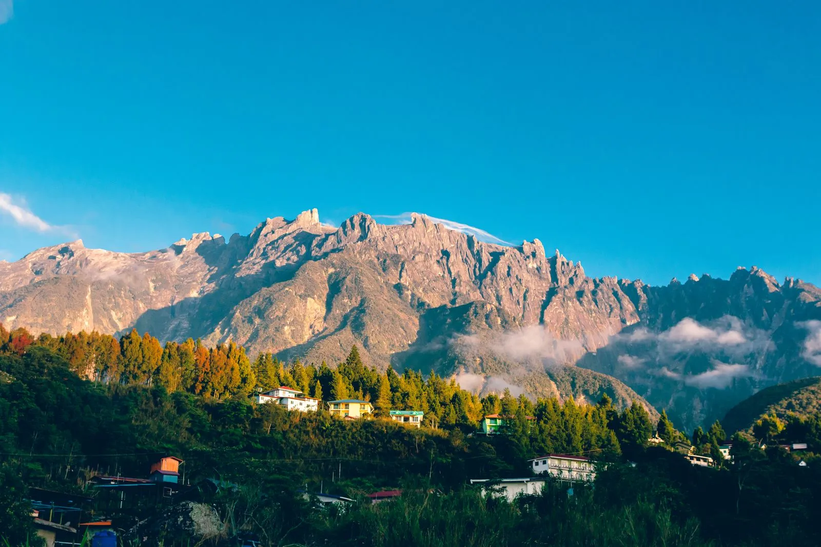
Kinabalu Pine Resort, on the main road between the park and Ranau, is a good spot for photos. It is about a 15-minute drive from the park.
Can I use my phone during the climb?
Sabah Parks warns that phone and internet service is limited throughout the climb.
Photos: Wikimedia Commons and Pexels. Authors and licences: image credits
Checked against 21 sources · last checked October 2026
- Sabah Parks (official) · checked October 2026
- Wikivoyage · checked October 2026
- Wikipedia · checked October 2026
- Sabah Parks (official) · checked October 2026
- Wikipedia · checked October 2026
- Wikivoyage · checked October 2026
- sabahparks.org.my (official) · checked October 2026
- The Star (news) · checked October 2026
- nst.com.my (news) · checked October 2026
- mountkinabalu.com (tour company) · checked October 2026
- nst.com.my (news) · checked October 2026
- Wikivoyage · checked October 2026
- mountkinabalu.com (tour company) · checked October 2026
- mountkinabalu.com (tour company) · checked October 2026
- Sabah Parks (official) · checked October 2026
- mountkinabalu.com (tour company) · checked October 2026
- Wikipedia · checked October 2026
- Wikipedia · checked October 2026
- Amazing Borneo Tours (tour company) · checked October 2026
- Wikipedia · checked October 2026
- Amazing Borneo (booking agent) · checked October 2026
Page history · last changed 17 October 2026
- URL changed to /height-and-difficulty/ before launch
- First written